

SchoolVaxView Interactive!
 ShareCompartir
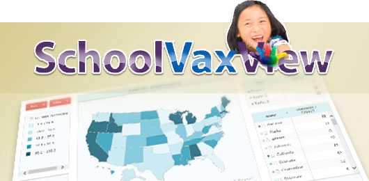
View state-level school vaccination coverage and exemption estimates using interactive maps, trend lines, bar charts, and data tables. Data collection methodology differs by state.
- Page last reviewed: October 12, 2017
- Page last updated: October 12, 2017
- Content source: