

FluVaxView Interactive!
 ShareCompartir
On This Page
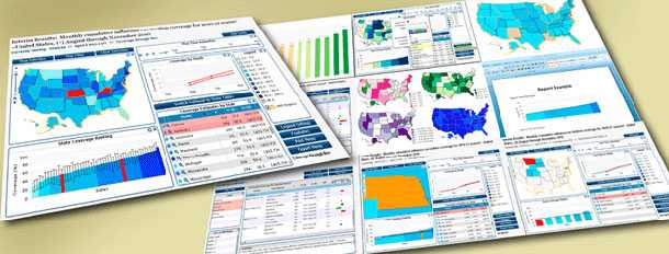
View national, regional, and state-level influenza vaccination coverage estimates using interactive maps, trend lines, bar charts and data tables.
- Page last reviewed: September 28, 2017
- Page last updated: September 28, 2017
- Content source:
- Centers for Disease Control and Prevention, National Center for Immunization and Respiratory Diseases (NCIRD)
- Page maintained by: Office of the Associate Director for Communication, Digital Media Branch, Division of Public Affairs